back to search results place the mouse over an image to zoom

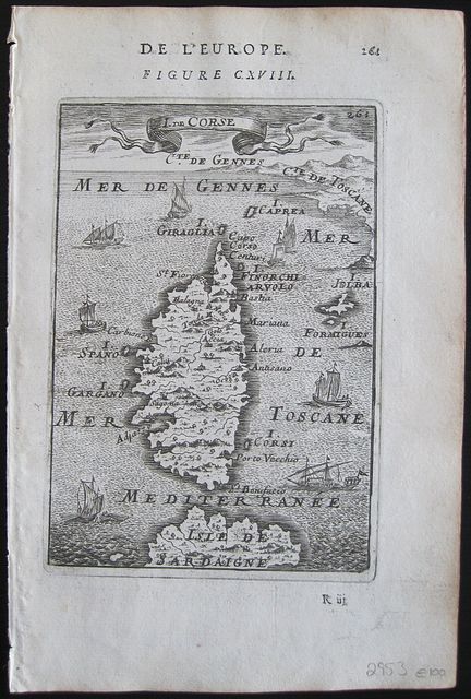
The Island of Corsica.

Mallet, Allain Manesson. Corsica. I.de Corse. Paris. Thierry. Denys. 1683
Copper engraved map of Corsica from Mallet's "Description de l'Univers" 1st edition. Text to verso.
The map shows the island surrounded by ships with part of Sardinia and the coast of Italy. Dark impression, light toning.

Allain Manesson Mallet 1630- 1706, French cartographer, engineer and mathematician, served in the army of Louis XIV, and also that of the King of Portugal later becoming Inspector of Fortifications to Louis. He published the "Description de l'Univers" in 1683, attempting to describe the cartography, towns, ports, people, habits and traditions of the known world. The work extended to 5 volumes with some 600 illustrations.
His other works were"Les Travaux de Mars, ou L'art de la Guerre" 1684, and "La geometerie Practique" 1702.
146 by 117mm (5¾ by 4½ inches).   ref: 2953  €100

Company: Bryan, Mary Louise. Address: Ag. Andrianoy 92 , 21 100 Nafplio, Greece.
Vat No: EL 119092581